Results 1-6 of 6
<<< Previous 1 Next >>>
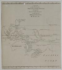
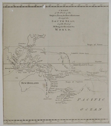
Chart of the Track of the Dolphin, Tamar, Swallow & Endeavour, through the South Seas; & the Track of M. Bougainville, round the World.
[Engraved by Thomas Bowen.]
[London: London Magazine, 1773.
Engraved map. Sheet 260 x 230mm, 13¼ x 9". Two holes, trimmed close, binding folds.
A map of the South Pacific showing the routes of the 18th century explorers including Cook on his First Voyage, in which he mapped New Zeland and the east coast of Australia for the first time. This is one sheet of a three-sheet map: however, as the sheets were published in seperate months in the Gentleman's Magazine, they often appear separately.
[Ref: 25753] £160.00
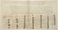
A Copy of the Warrant Signed for the Death of Charles I.
Bowen Sculp.t.
[n.d., c.1750.]
Engraving. Sheet 210 x 405mm (8¼ x 16"). Trimmed within plate, mounted in album paper at edges.
Facsimile of death warrant for Charles I, with the signatures and seals of the fifty-nine Commissioners who signed it.
[Ref: 63770] £230.00
(£276.00 incl.VAT)
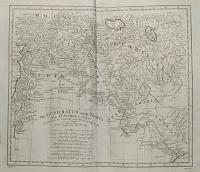
The Euphrates and the Tigris from D'Anville's Atlas.
Haywood del. Bowen sculp.
Engraved for Jno. Harrison, No 115 Newgate Street. April 7, 1788.
Engraving. 360 x 420mm.
Map of the Near East after the French cartographer d'Anville, showing the showing Syria, Kurdistan & Iraq.
[Ref: 3046] £220.00
![[A View of Truxillo Bay and City on the Coast of Honduras.]](img-thumbnail/jpegs/69153.jpg)
[A View of Truxillo Bay and City on the Coast of Honduras.]
T. Bowen sc.
[London: Republished 4.th June 1796, by Robert Wilkinson, N.º 58 Cornhill.
Coloured engraving. Sheet 230 x 360mm (9 x 14¼"). Trimmed, closing title and references, several small holes.
According to the References (not present) 'A' is Lookout Island; 'B' is 'The remains of a large city, taken and sacked by the Bukaneers'; and 'D' English and Dutch traders. National Maritime Museum PAH2959.
[Ref: 69153] £240.00
(£288.00 incl.VAT)
![[Trujillo] A View of Truxillo Bay and City on the Coast of Honduras.](img-thumbnail/jpegs/55167.jpg)
[Trujillo] A View of Truxillo Bay and City on the Coast of Honduras.
T. Bowen sc.
London, Republished 4th June 1796 by Robert Wilkinson, No 58, Cornhill. c. 1810
Coloured engraving. Printed area 245 x 375mm (9¾ x 14¾"). Stuck in mount.
A view of Trujillo, once the capital of Spanish Honduras, but abandoned as being too vulnerable to pirate attacks.
[Ref: 55167] £320.00
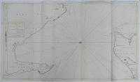
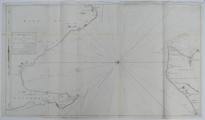
The North Coast of the Isle of Man; with the Bay of Luce in Scotland; surveyed and navigated by M.Mackenzie Sen.r.
Publish'd as the Act directs Dec.r 23.d 1775.
Engraved sea chart. Three sheets conjoined, total 720 x 1280mm, 28¾ x 50½". With original binding folds.
Orientated with north to the left, this chart shows Peel and Ramsey on the Isle of Man, the Rhinns of Galloway south of Port Patrick, Glenluce and Whithorn (here 'Whitehoren'), site of the first recorded Christian church in Scotland. With three coastal profiles. Murdoch Mackenzie (1712-1797), born on Orkney, was employed by the Royal Navy to chart waters of the west of Scotland, Ireland and Wales. After 20 years' work the resulting charts were published by Mackenzie himself as 'A maratim survey of Ireland and the west of Great Britain', in two large folio volumes. The charts of the nororiously treacherous waters of western Scotland remained the best available for over a century.
[Ref: 10003] £280.00
<<< Previous 1 Next >>>


![[A View of Truxillo Bay and City on the Coast of Honduras.]](jpegs/69153.jpg)
![[Trujillo] A View of Truxillo Bay and City on the Coast of Honduras.](jpegs/55167.jpg)