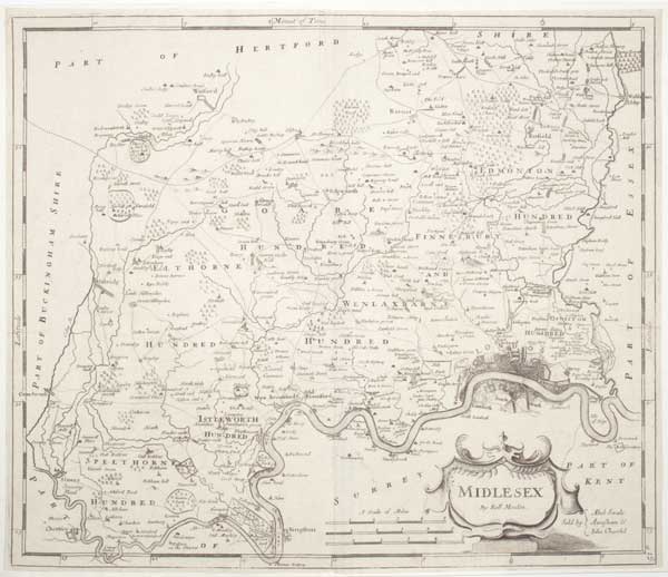
Midlesex.
[London, Awnsham Churchill, 1722.] Engraved map. Sheet 370 x 430mm (14½ x 17"). Trimmed to plate, laid on album sheet. A map of Middlesex, based on John Speed but with John Ogilby's roads added. First published in 'Camden’s Britannia' in 1695, this example comes from 'Britannia: Or A Chorographical Description Of Great Britain'
[Ref: 61746] £240.00