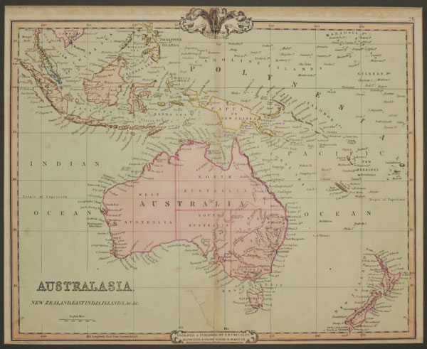
Australasia, New Zealand, East India Islands, &c. &c.
Engraved and Published by G.F. Cruchley, Map Seller and Globe Maker, 81 Fleet Street. April 1st 1842. Additions to 1854. Engraved map with original hand colour. 370 x 450mm, 14½ x 17¾". Repaired tear. A map of Australasia, showing Australia and New Zealand, Indonesia, New Caledonia and Fiji.
[Ref: 25658] £180.00