Results 1-3 of 3
<<< Previous 1 Next >>>

Australia and Islands Adjacent.
Engraved by S. Hall, Burry Street Bloomsbury.
London. Published by Longman & Co. Paternoster Row. c. 1840's
Coloured engraved map. 195 x 240mm, 7¾ x 9½".
Map of Australia, with southern Indonesia.
[Ref: 25741] £95.00
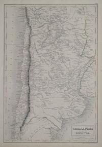
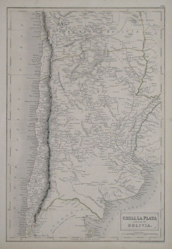
Chili, La Plata and Part of Bolivia.
Engraved by S.Hall, Bury Street, Bloomsbury.
[n.d., c.1850.]
Engraved map with original colour. 400 x 260mm, 15¾ x 10¼".
Bolivia still has access to the sea, before it lost land in the War of the Pacific (1879-83).
[Ref: 13236] £80.00
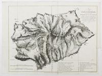
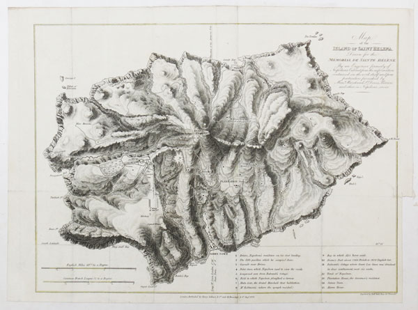
Map of the Island of Saint Helena Drawn for the memorial de Sainte Hélène. By an Engineer formerly of Napoleon's Cabinet from the infomation contained in the work itself and from particulars furnished by Mess.is Marchannd St.t Denis Pierron and others in Napoleon's service.
Engraved by Sid.y Hall Bury Str.t Bloomsb.y
London Published by Henry Colburn & C.o and M. Bossange & C.o Aug.t 1823.
Engraving with coloured border, sheet 285 x 360mm (11¼ x 14¼"). Cut within plate on two sides and glued to backing board.
A map of St. Helena.
[Ref: 55910] £140.00
<<< Previous 1 Next >>>