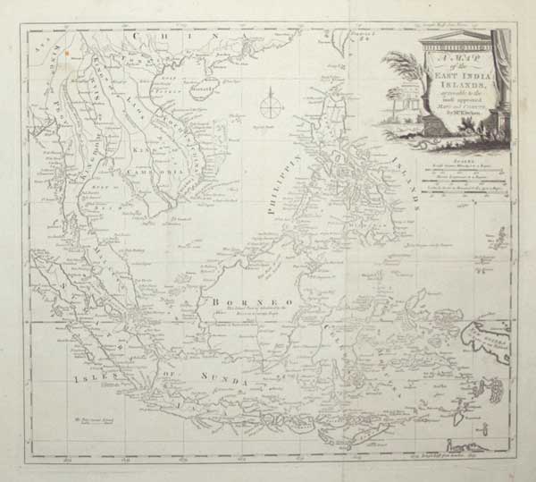
A Map of the East India Islands, agreeable to the most approved Maps and Charts, by Mr. Kitchin.
[engraved by Thomas Kitchin.] [London, c.1785.] Engraved map. 345 x 385mm (13½ x 15¼"), with very large margins. Original folds, some slight staining, some areas weakly inked. A map of the East Indies, with the Malay Peninsula, Indochina, Indonesia and the Philippines. New Guinea has yet to be mapped properly. Originally published in 'Millar's New Complete & Universal System of Geography'.
[Ref: 55316] £250.00